

PHOTO GALLERY: Large shelf cloud moves across Oklahoma
News On 6 viewers sent photos and videos of a large shelf cloud that moved across Oklahoma early Tuesday.Tuesday, June 17th 2025, 2:39 pm

TULSA, Okla. -
A shelf cloud brought torrential rain to a large portion of Oklahoma on Tuesday morning, the first round of storms that couldbecome more severe heading into the evening hours.
RELATED: TULSA WEATHER FORECAST
Viewers across Green Country shared photos of the storm as it moved overhead, check out the photos and videos by scrolling down. ⬇️☁️
Storm tracker Brandon Welles captured this photo near Lake Keystone.

Shelf cloud shows lowering in Tahlequah (📸Bret Heyman)
 Shelf cloud in Cleveland, Oklahoma, on June 17, 2025. (📸Keeler Hoback)
 Video shows the shelf cloud near Pryor, Oklahoma, on June 17, 2025 (📸Lori Dillon)
Shelf cloud in Muskogee, Oklahoma, on June 17, 2025. (📸Dakota Whitchurch)

Shelf cloud in Owasso, Oklahoma, on June 17, 2025 (📸Jaedon Marlin)

Shelf cloud in Osage County on June 17, 2025 (📸 Wayne Ward)
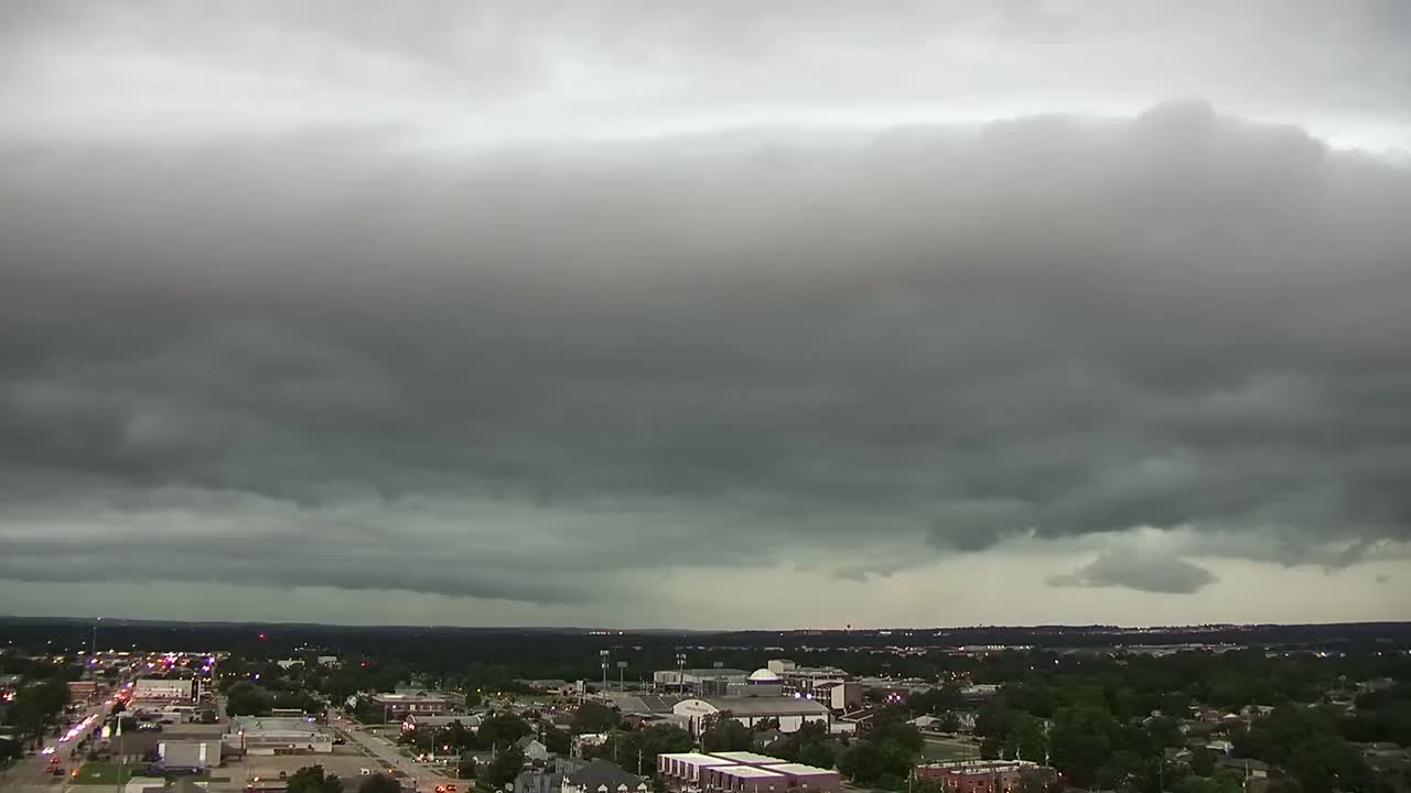
Panoramic photo of shelf cloud in Tulsa, Oklahoma, on June 17, 2025. (📸Michael Woods, News On 6 Photographer)

Shelf cloud in Tulsa, Oklahoma, on June 17, 2025, near 71st and Trenton. (📸Lori Dee)

Shelf cloud over Porter, Oklahoma, on June 17, 2025. (📸Cam Ball)

Shelf cloud along Highway 33 near Kellyville turnpike on June 17, 2025. (📸Leann McCaskey)

News On 6's Emory Bryan was in Tulsa after the storm passed and shared video of flooding at E. 43rd and S. Sheridan.

Drake Johnson
Drake Johnson is a Digital Content Producer at Griffin Media. He joined the team in July 2021 after graduating from the University of Oklahoma with a degree in journalism.

Get The Daily Update!
Be among the first to get breaking news, weather, and general news updates from News on 6 delivered right to your inbox!
More Like This

June 17th, 2025

July 16th, 2025


June 16th, 2025
Top Headlines

September 12th, 2025

September 12th, 2025

September 12th, 2025

September 12th, 2025