Strong To Severe Storms Move Across Eastern Oklahoma
Showers and storms will cover most of Oklahoma Tuesday morning making way for a muggy mid-day. Highs will stretch into the 80s as things progress.Tuesday, August 8th 2023, 8:52 am
Showers and storms will cover most of Oklahoma Tuesday morning making way for a muggy mid-day.
Where Will Severe Weather Be?
Thunderstorms continue this morning near and north of a mid-level boundary positioned roughly along the I-40 corridor. A few of these storms have been strong and severe overnight with large hail and damaging wind threats along with locally heavy rainfall. The severe weather threat has ended but a fe showers will linger near and south of the metro for the next few hours.
Just like yesterday morning, clouds will gradually decrease through the early morning hours with the return of some afternoon sunshine and highs in the upper 80s. South winds will return today and low-level moisture will spread northward as a warm front eventually moves north during the evening. This means we'll notice more heat index values today from the mid-90s north and near 100 south.
DAILY PODCAST LINK: You can get Alan's daily podcast with a simple click - LISTEN HERE
A few more scattered showers and storms will remain possible later tonight into pre-dawn Wednesday across part of northeastern Oklahoma before a strong mid-level wave moves across the central plains Wednesday night. The surface pressure gradient will bring strong south winds from 20 to 30 mph Wednesday along with highs in the lower or even mid 90s in a few spots.
Heat index values will be near 100 to 105 north and slightly higher across southeastern OK where a few heat advisories may be issued.

Flood Warnings
Flash Flood Warnings stretch across McIntosh, Pittsburg, Haskell, Latimer, and Le Flore Counties. Some areas have picked up 3"-4" rain.
Meteorologist Stephen Nehrenz says that while flooding hasn't been an issue in the Tulsa metro, there have been a handful of traffic incidents Tuesday morning.
"The wet road conditions shouldn't be taken lightly. So just be aware of your surroundings as you head out the door. Please don't drive on roads that are covered by water," said Nehrenz.
Will It Rain On Wednesday?
As the strong mid-level disturbance moves east Wednesday, strong to severe storms will attempt to develop along and ahead of a surface low-pressure center moving across southeastern Kansas. A weak boundary (cold front) associated with the surface low will move across the area Wednesday night.
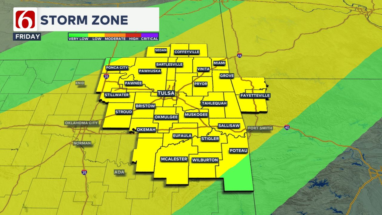
These features will attempt to produce strong to severe storms, including all modes of severe weather across parts of Northeast OK-SE Kansas-SW Missouri-and Northwest Arkansas. By late Wednesday night into early Thursday morning, the threat for severe storms should be east of the area with a day or so of dry conditions before some additional storm chances return Friday night into part of the weekend.
What Are The Highs This Week In Oklahoma?
Highs will be in the upper 80s on Tuesday before reaching back up in the upper 90s by the end of the week.
Refresh for Updates


Alan Crone
An integral part of the News On 6 Weather Team since 2006, Alan Crone keeps Oklahomans safe and informed about morning weather each weekday on Six in the Morning. He’s always keeping an eye on the sky for both severe weather and just weather that’s going to make your day a bit more interesting.
More Like This
August 8th, 2023
April 16th, 2025
July 4th, 2023
May 8th, 2023
Top Headlines
September 6th, 2025
September 6th, 2025
September 6th, 2025


