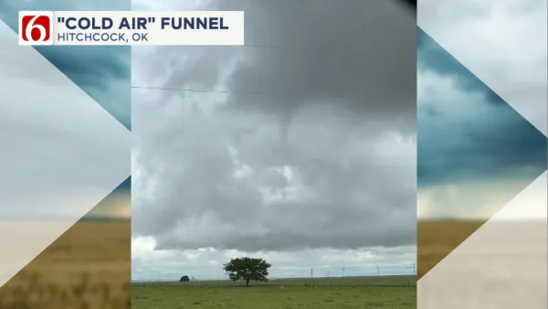
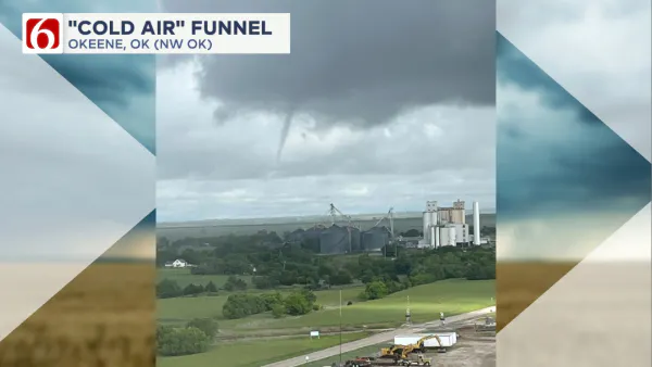
What are cold air funnels—and why they happen in Oklahoma
Not all funnel clouds in Oklahoma are dangerous tornadoes—some are cold air funnels. These form in the spring and fall under high-based showers or thunderstorms when colder air aloft moves over warmer surface temperatures, creating instability. Cold air funnels are usually small, weak, and rarely reach the ground. Though generally not dangerous, they can occasionally cause minor damage if they touch down.Wednesday, May 7th 2025, 10:08 pm
TULSA, Okla. -
When we think about funnel clouds in Oklahoma, we think of tornadoes—powerful, rotating columns of air capable of significant damage. But not all funnel clouds are dangerous. Cold air funnels occasionally make appearances over Oklahoma when conditions are right, especially during the fall and spring. While they may look ominous, they usually do not reach the surface.
What Is a Cold Air Funnel?
A cold air funnel is a small, narrow funnel cloud that forms beneath a high-based shower or thunderstorm. Unlike tornadoes, cold air funnels rarely touch the ground or cause damage. They are not associated with organized severe storms, unlike tornadoes that spawn from strong supercells.

How Do They Form?
In the spring and fall, upper-level troughs (dips in the jet stream) or closed-off upper level lows often move over the state. This creates colder air aloft to move over Oklahoma with these systems. When that cold air overlays warmer surface temperatures, instability increases. When instability increases, updrafts can grow. Vorticity (or spin) aloft is provided by the rotation of the closed-off low. Vorticity can stretch the updrafts and produce funnels under the high-based clouds. These environments have just enough ingredients to produce funnels but not enough to produce severe weather.

Are Cold Air Funnels Dangerous?
Most of the time, no. Most cold air funnels never touch down. If they do, winds at the surface are usually weak and the touchdown is brief. On rare occasions, they have produced minor damage.
How to Tell the Difference from a Tornado
- Speed: They rotate or spin slower and look wispy or rope-like.
- Movement: Cold air funnels usually drift or remain stationary.
More Like This
Top Headlines
June 7th, 2025
June 7th, 2025


