Fire risk increases for Thursday, rounds of heavy rain for the weekend
High fire danger in western Oklahoma with hot, windy conditions, and possibilities of severe isolated storms.Wednesday, April 16th 2025, 5:51 pm
OKLAHOMA CITY -
Thursday is hot! Highs reach the 80s and 90s across the state.
Fire risk is increases in Western and Northwestern OK.
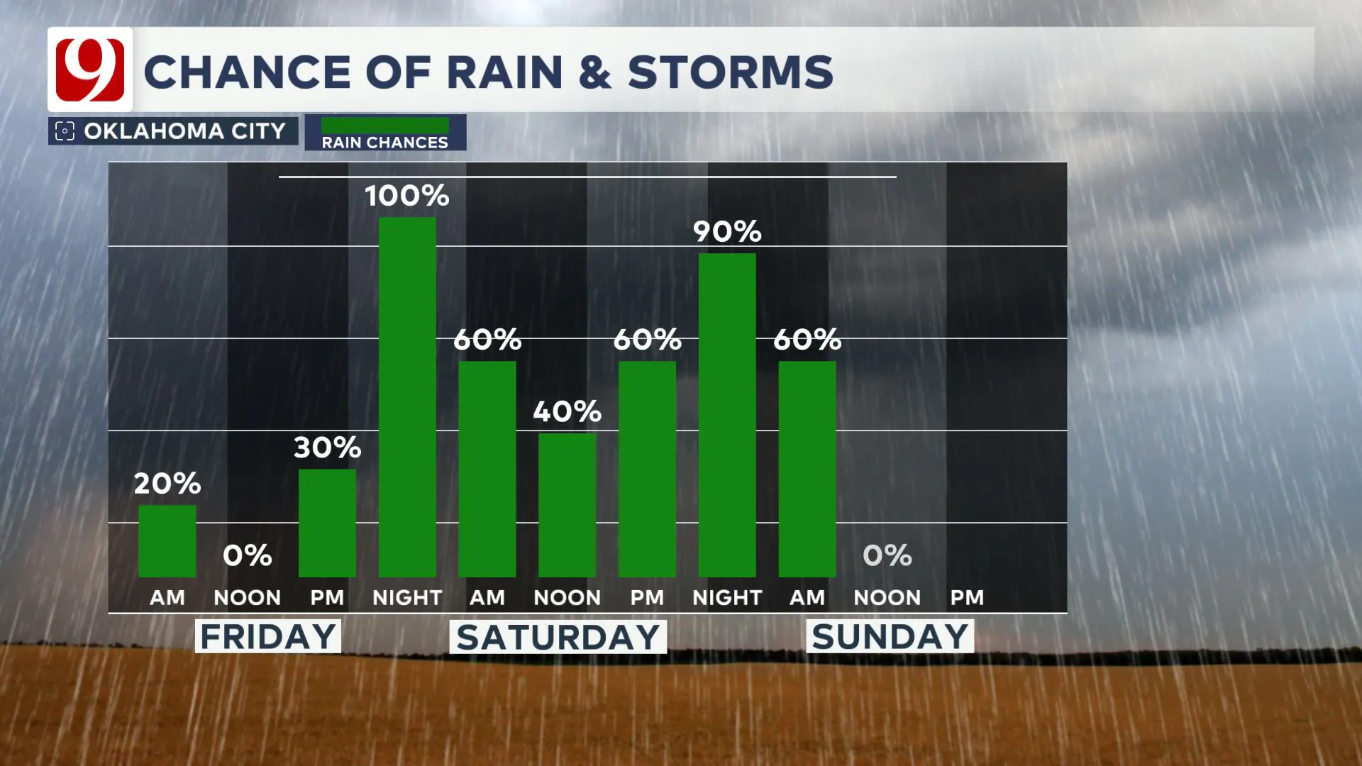
Our next system arrives Friday, bringing rain and a low severe threat. Rain chances and cooler weather linger through Easter Weekend.
Waves of rain and storms move in for the weekend. It will be cool behind Friday's cold front. Highs will stay in the 50s both Saturday and Sunday.

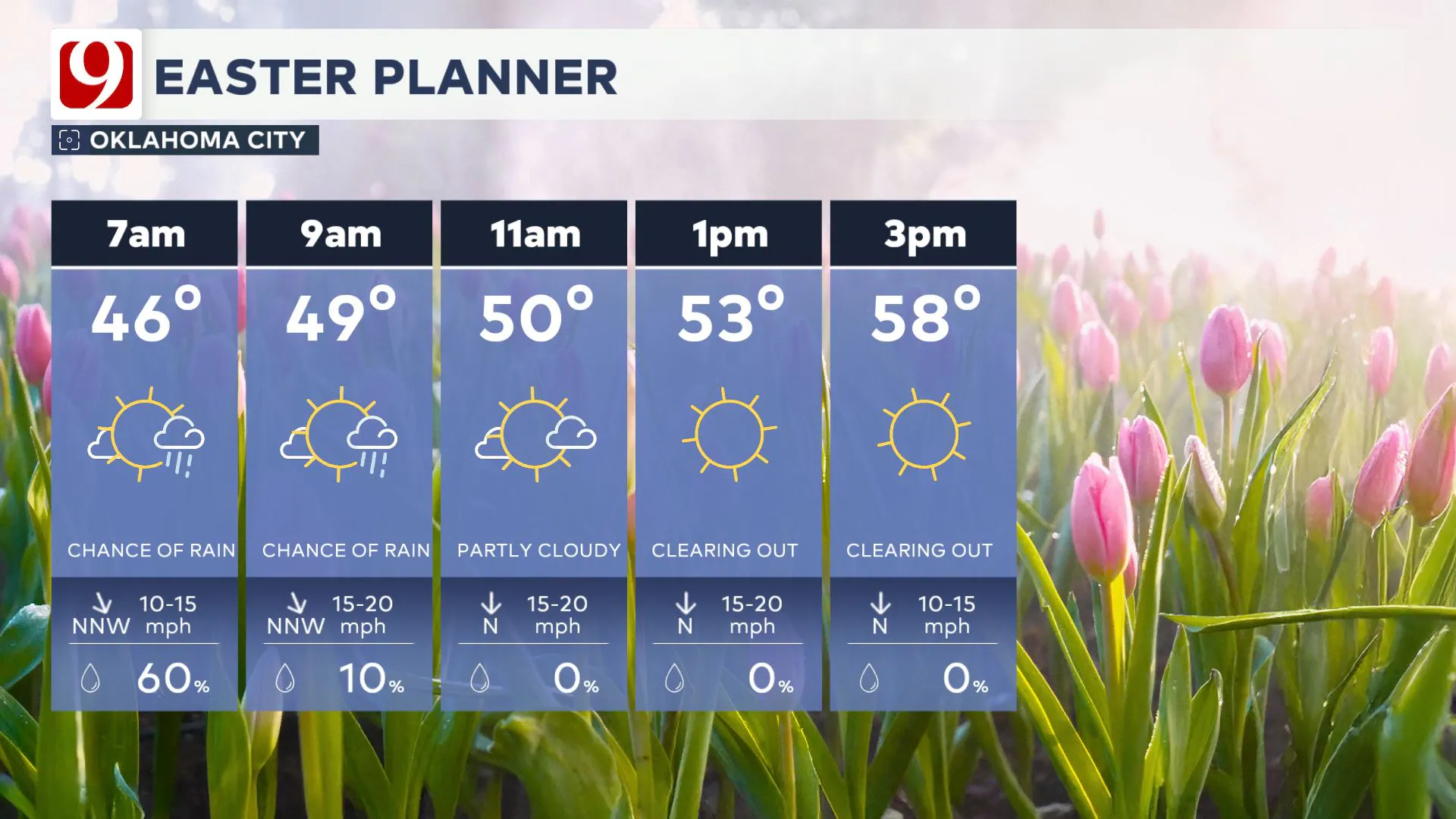
Rain looks to move out early Sunday morning. Easter Sunday looks dry for the afternoon and evening.

STORM SAFETY:
🔗Severe weather safety: what to do before, during, and after a storm
🔗Tornado Watch vs. Tornado Warning: what they mean and what to do
🔗Severe weather safety: what you need to know to prepare
Emergency Info: Outages Across Oklahoma:
Northeast Oklahoma has various power companies and electric cooperatives, many of which have overlapping areas of coverage. Below is a link to various outage maps.
- PSO Outage Map
- OG&E Outage Map
- VVEC Outage Map
- Indian Electric Cooperative (IEC) Outage Map
- Oklahoma Association of Electric Cooperatives Outage Map — (Note Several Smaller Co-ops Included)
Follow our meteorologists!
More Like This
April 17th, 2025
April 17th, 2025
April 16th, 2025
Top Headlines
April 17th, 2025
April 17th, 2025
April 16th, 2025


