Live Updates: Tornado Watch Issued For Northeast, Central Oklahoma
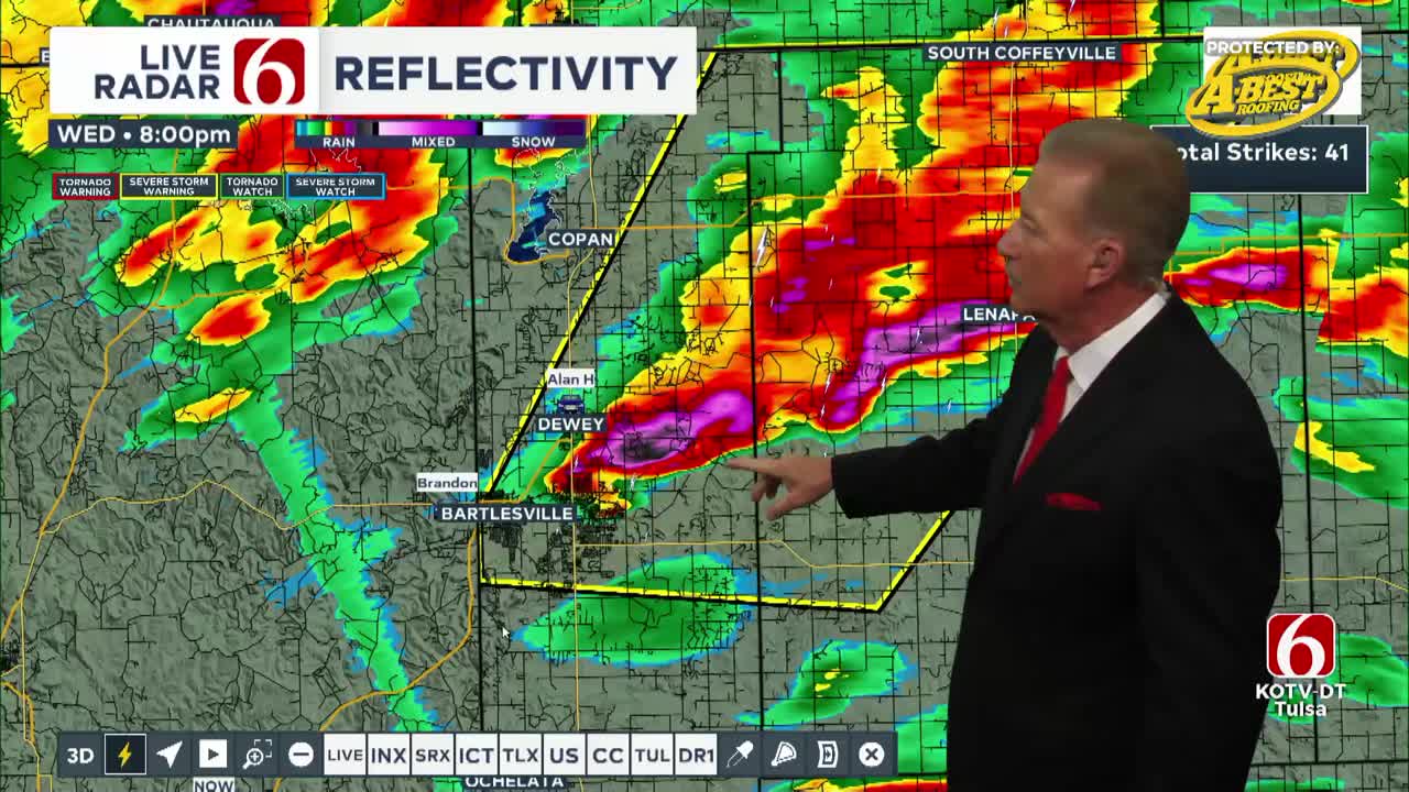
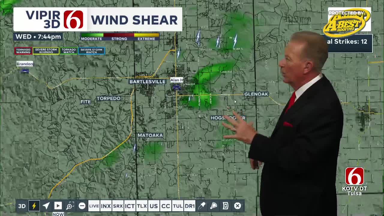
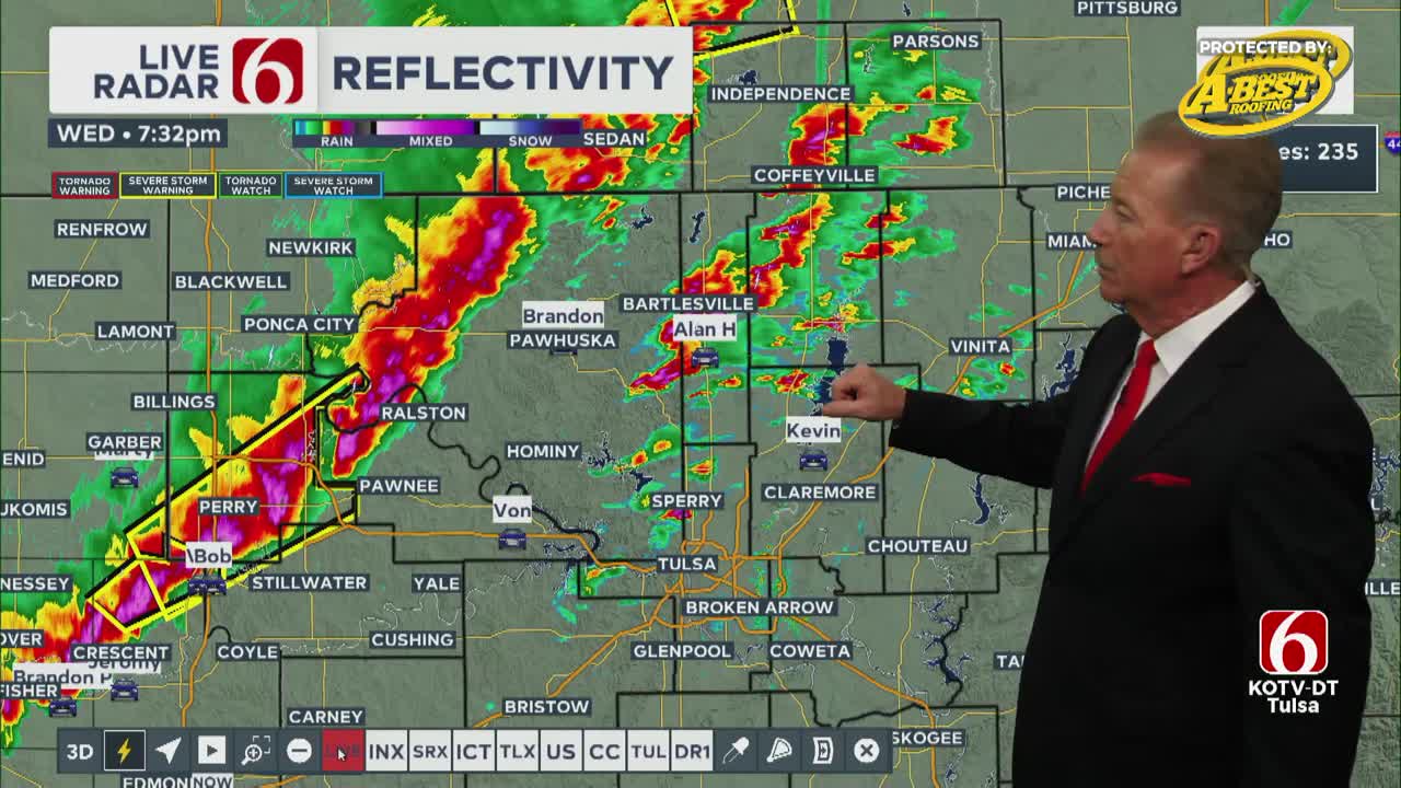
Severe storms are expected in Oklahoma starting Wednesday evening, with risks of large hail, damaging winds, and possible tornadoes through early Thursday morning. Chief Meteorologist Travis Meyer and the weather team are tracking and have the latest storm timeline.Wednesday, October 30th 2024, 1:46 pm
TULSA, Okla. -
Severe weather threats return to Green Country on Wednesday.
A line of strong to severe storms is expected to form in western to north-central Oklahoma by late afternoon along a cold front, pushing southeast through the night with severe weather embedded until early Thursday morning.
Severe Thunderstorm Warnings
A severe thunderstorm warning has been issued for Nowata and Washington County until 8:45 p.m.
Tornado Watches
A tornado watch has been issued for several counties in Northeast Oklahoma until midnight.
Counties included are:
- Craig
- Creek
- Hughes
- Lincoln
- Mayes
- Nowata
- Okfuskee
- Okmulgee
- Osage
- Ottawa
- Pawnee
- Rogers
- Tulsa
- Wagoner
- Washington
A Tornado Watch has been issued for much of Central Oklahoma until 9 p.m.
Counties included are
- Alfalfa
- Blaine,
- Caddo,
- Canadian,
- Cleveland
- Custer,
- Dewey,
- Garfield,
- Grady
- Kay,
- Kingfisher,
- Logan,
- Major,
- McClain
- Noble,
- Oklahoma,
- Payne,
- Washita,
- Woods
- Woodward
Here is a general timeline for the main severe threats according to Chief Meteorologist Travis Meyer:
- Northwest of Tulsa: 7 p.m. — 10 p.m.
- Tulsa Metro & I-44 corridor: 10 p.m. — noon
- Southeast of Tulsa: noon — 3 a.m.
Large hail, damaging winds, and a few tornadoes are all possible. The tornado risk will be moderate during the initial storms through the evening, with an increased focus on damaging winds and embedded spin-ups after midnight and into early Thursday.
More Like This
October 30th, 2024
October 20th, 2024
October 20th, 2024
Top Headlines
October 30th, 2024
October 30th, 2024
October 30th, 2024


